
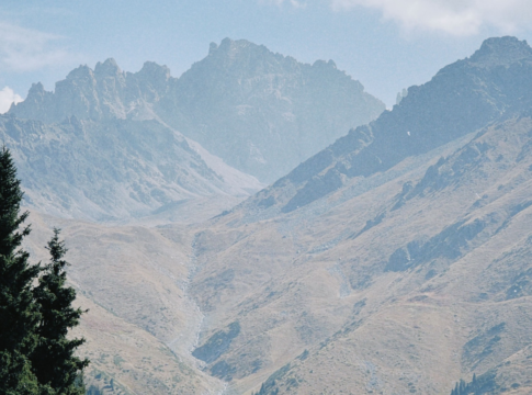
A country as vast as ours is inevitably varied geographically, but when it comes to tourism, far more people come for the mountains of Kazakhstan and their myriad appeal than perhaps would for the steppe, enchanting though the latter may be – and definitely worth seeing.
In terms of the peaks largely to be found in the south-east of the country, locals and visitors alike tend to make Almaty a base for day trips, or longer excursions, not all of the options involving making it to the top of any mountain. A lot of people prefer to play it safer, yet run out of time to cover it all, and any quick internet search can enlighten potential guests as to what they can get up to just a short trek from the southern capital.
It should be noted that the information given here is but a brief overview, and that hiking in mountainous areas of Kazakhstan can be dangerous. A guide is advisable and precautions are essential.
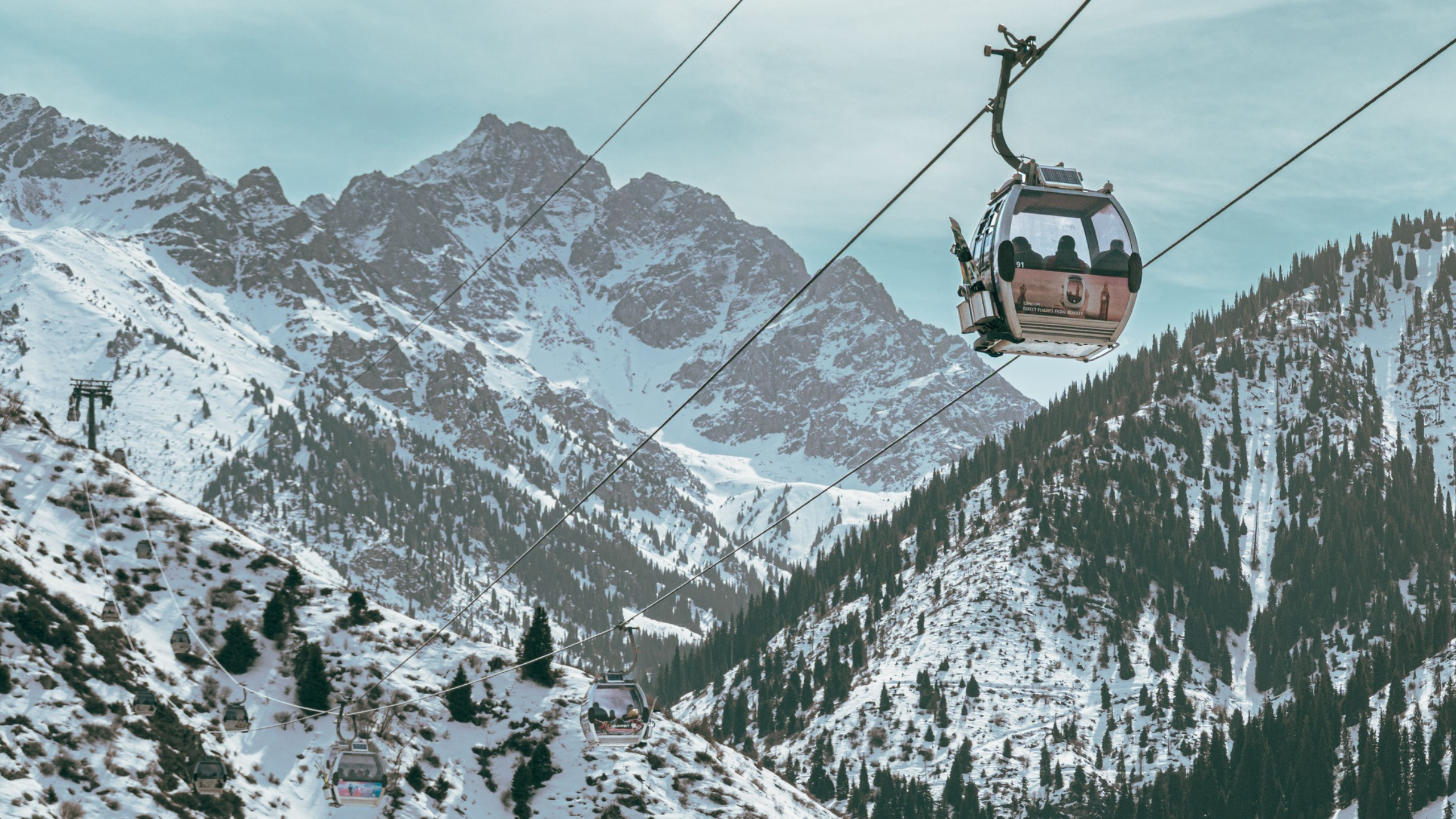
The towering peaks that dominate the southern views over Almaty have led to an interesting anomaly, as quite often, maps of Almaty are printed with the south at the top because the slope of the city and the mountains further in that direction give the sense of going up, which is heading south. The logic may escape many people, but if actually here, it makes sense – the ascending vibe and that ‘holding the map the right way up’ go better together if they both match.
Mountain Ranges of Kazakhstan
Tolkien wrote about the Lonely Mountain. I can’t do that, primarily because I don’t have the patience to sit for ten years working on one story, but also because it wouldn’t be doing justice to the two main mountain ranges in Kazakhstan: the Tian Shan and the Altai.
The Tian Shan (sometimes written the Tien Shan, or Tianshan) is more than a single mountain range but a series of connected ranges which cross into four countries: Kazakhstan, Kyrgyzstan, Uzbekistan, and China. Within Kazakhstan, the highest peak is Khan Tengri, although this near 7,000-metre giant is not entirely within the border, as it also straddles territory in Kyrgyzstan and China. Its name means Lord of the Spirits, and it is sacred to Tengrism (an ancient, nature-centred belief system from the Eurasian steppes that focuses on the worship of the eternal blue sky god, Tengri).
The Altai Mountains are mainly located in Russia and Mongolia but feature in Eastern Kazakhstan as well. They are the source of the Irtysh–Ob River, which empties into the Arctic. The region is home to a diversity of ethnic groups yet is not densely populated and survives on the economy generated by traditional industry and agriculture, increasingly benefitting from tourism as the region is discovered by more people.
We can also factor in the Dzungarian Alatau Range, a 450-kilometre mountain range on the border between Kazakhstan and China, making it technically part of the Tian Shan family but one known by its own name given its distinct geography and features. These include Burkhan-Bulak, the highest waterfall in Kazakhstan, the Zhongar-Alatau National Park, and the Altyn-Emel National Park to the west.
As a footnote, the Karatau and Southern ranges are lower in elevation but still beautiful and host to many archaeological and historical sites.
Khan Tengri
Back to Khan Tengri, information online seems inconsistent, as the height of the mountain is given as 7,010 and 6,995 metres, depending on the source, while the website, silkadv.com claims that the former is ‘commercial and fictitious’.
It goes on to add:
This height was simply inscribed in the itineraries of programmes and tours of tourist companies in the late 80s, without conducting topographic research. Somehow it was necessary to attract foreign climbers to the unexplored regions of the Central Tien Shan. With the light hand of businessmen from mountaineering, this height began to compete with the true topographic height of 6995.2 meters above sea level.
Other sources claim that the extra elevation is provided by the ice cap rather than the solid rock, and taking the bigger number makes this the most northerly 7,000-metre peak in the world, which is perhaps a good enough reason to factor the ice in. You’d still have to scale both to get to the top.
There is no dispute that this is the highest point in Kazakhstan and that the summit is an almost perfect pyramid and has an ice cap that reaches through the clouds into the heavens.
It was discovered millennia ago, but not charted until Russian scientists went there to document the peaks of the range it stood in. One of them, the famous Russian geographer and traveller P.P. Semenov-Tien Shansky, made an entry in his diary that many visitors since have understood.
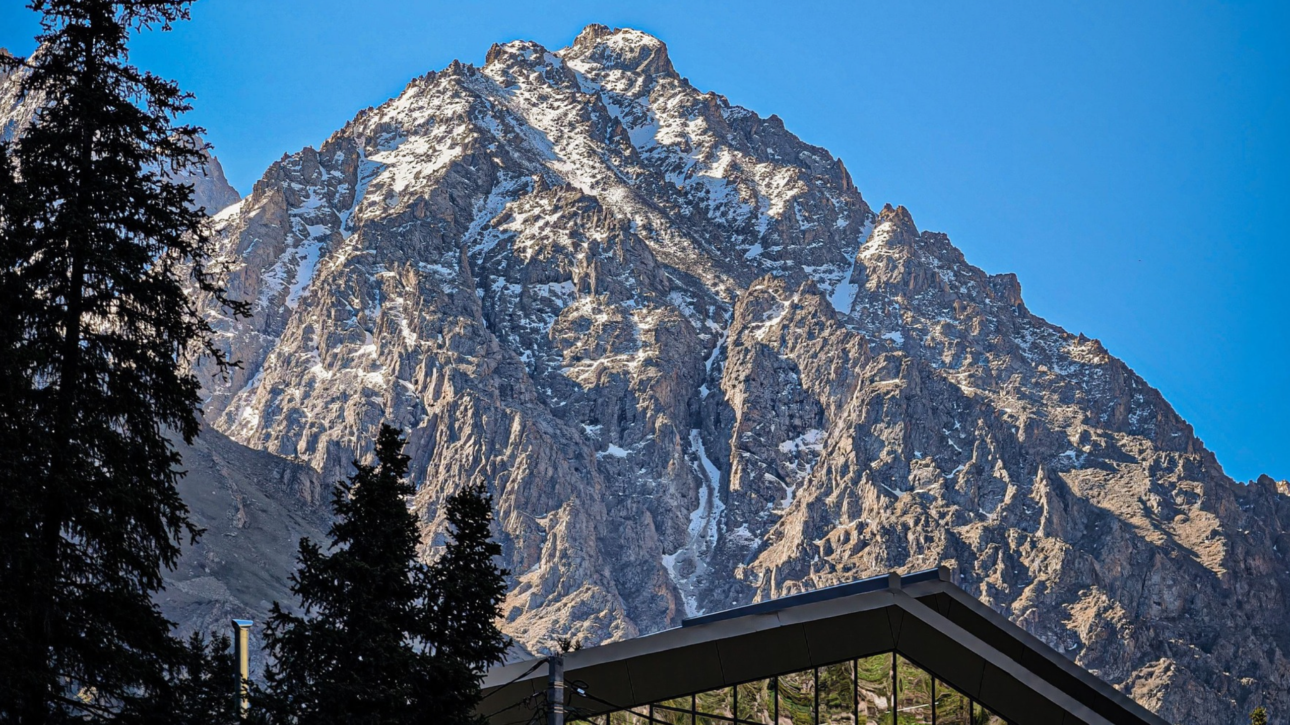
“When we got about one o’clock in the afternoon to the top of the mountain pass, we were blinded by an unexpected sight. Directly to the south of us rose the most magnificent mountain range I have ever seen. It all, from top to bottom, consisted of snow giants, which I, to the right and to the left of myself, could count at least thirty.
“This entire ridge, together with the intervals between the mountain peaks, was covered with an uninterrupted veil of eternal snow. In the middle of these giants there was one, sharply between them, a snow-white pointed pyramid that stood out in its height, which seemed from the height of the pass twice as high as the height of the other peaks. This was Khan-Tengri peak.”
This article is not a list of the highest mountains in Kazakhstan but more a who’s-who of towering giants, an overview of some of the more significant peaks in the country. This means that Marble Wall Peak, also on the Chinese border, gets less of a mention than some smaller mountains, given that leisure activities there are limited and it is less talked about.
Marble Wall Peak
Marble Wall is a peak at an altitude of 6,400 m above sea level. No climbing is conducted right along the wall because of frequent icefalls. The peak was named because of its marble outcrop, yet in winter there is less snow as it is blown away by the wind. Perhaps in some ways this is the Lonely Mountain of Kazakhstan, given its lower number of guests.
More accessible to non-climbers are some of the mountains near Almaty city, such as Peak Furmanov, but as this ranks lower down the list and comes later. Peak Talgar is next port of call, literally so, if you are up for the challenge of scaling its 4,979 metres (although this height is also occasionally disputed, too).
Peak Talgar
Peak Talgar is named after a local town and river, and the southern slopes in the area are home to the largest glacier in the Trans-Ili Alatau, the Korzhnevsky Glacier.
6-11-day guided ascents are available, but those interested are urged to consider how serious this challenge is, and nobody without glacier travel experience and the ability to deal with high-altitude camping (and even crevasse rescue) should even consider the trip. According to organisers:
The standard route via the Korzhenevsky Glacier is rated 3A in the Russian mountaineering classification — comparable to upper-intermediate Alpine routes. The approach alone takes 5–6 days through roadless terrain, crossing passes and glaciers.
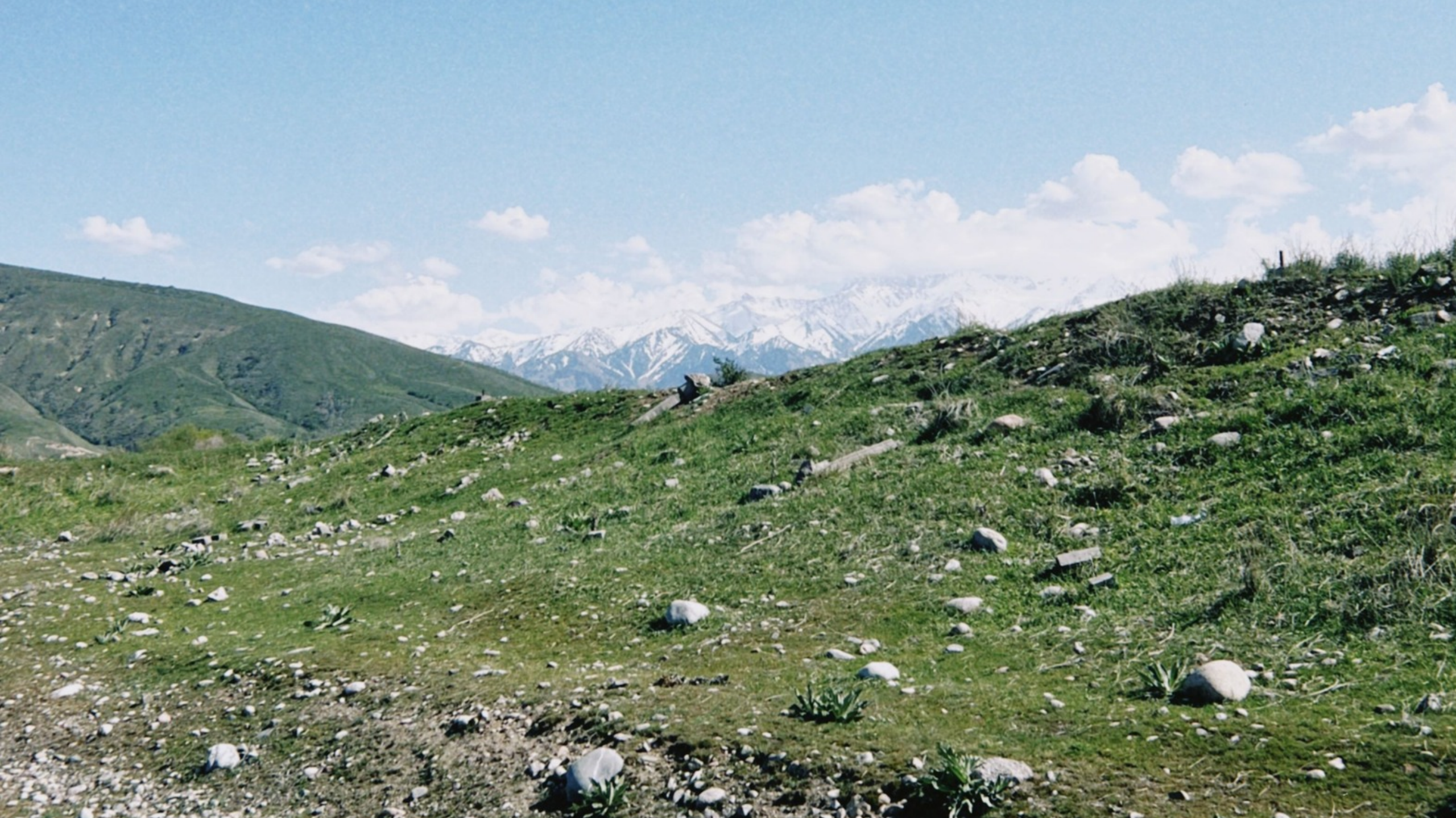
An interesting piece of history is that in 2016 Vitaly Komarov, with Americans Robin Hill and Brody Leven, became the first to ski and snowboard down the west face – not perhaps advisable for anybody else, but their achievement did become part of the history of this mountain, inspiring in many ways, perhaps not something to take literally, though.
Mount Belukha
About a few dozen miles north of the China-Kazakhstan-Russia tripoint stands a mountain first climbed in 1914 by the Tronov brothers. Mt Belukha is shared by Kazakhstan and Russia, which places it in the Altai range, of which it forms the highest point.
Rather than being one single peak, Belukha (4,506 m) is a multi-peaked massif, and access, not only up the mountain but to the surrounding area, is controlled, and visitors are required to get a pass.
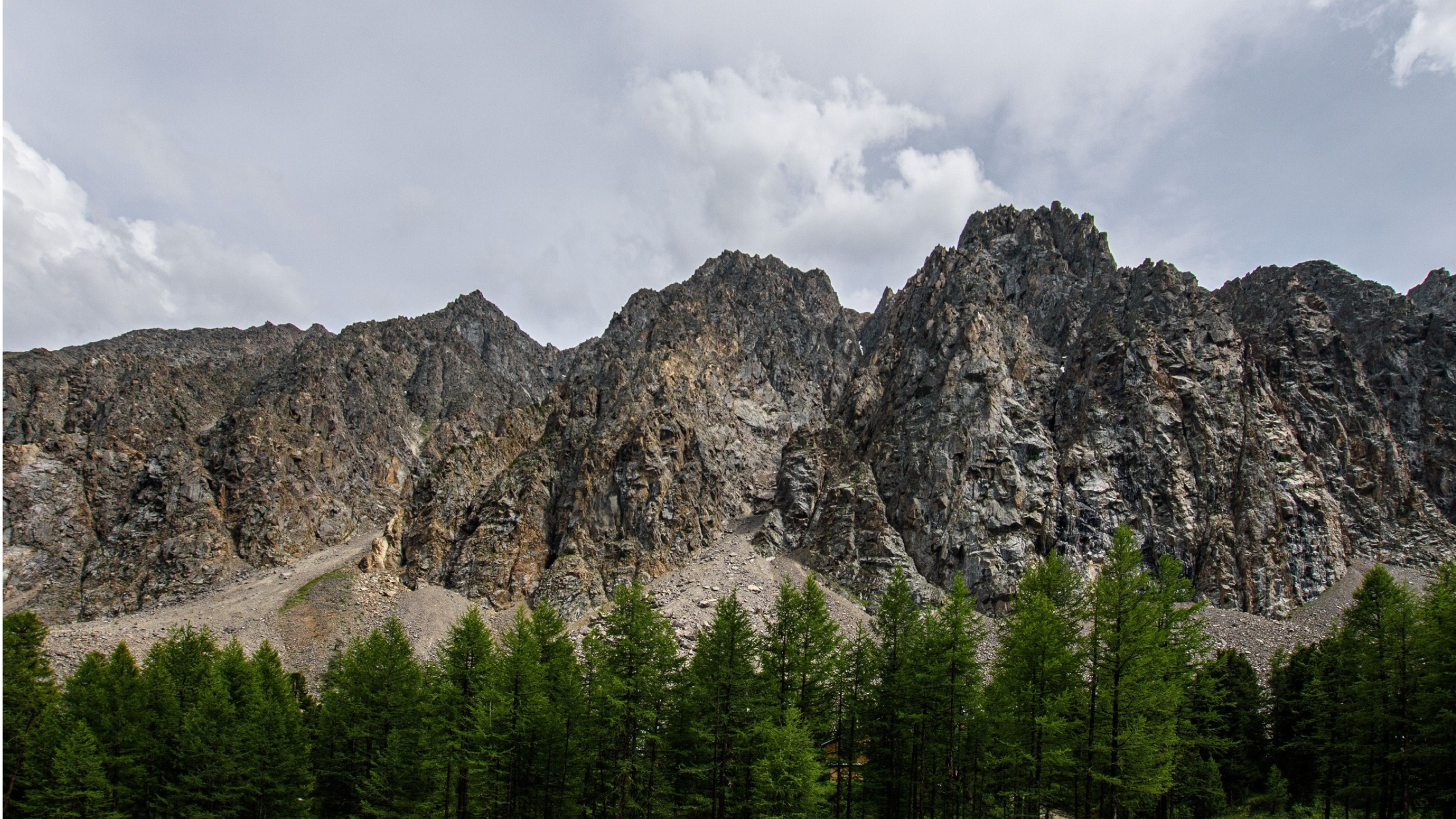
The mountain is seen as sacred by local people, not an unusual reverence and one shared by people living under similar giants all across the world. In fairness, it is revered by many other people also not living in the area it towers over, but given the distance from major Kazakh settlements, features lower down the itineraries of serious climbers and casual hikers.
Peak Nursultan
Until 1998, Peak Komsomol at 4,330 metres was embedded in local mountaineering culture, but that changed – not because the mountain itself did, but its name, as it was renamed Peak Nursultan, after the First President of Kazakhstan, Nursultan Nazarbayev. Located in the Ile-Alatau National Park near Almaty, in the Tian Shan, it is considered a must-climb by alpine lovers in the area and has been scaled by people from many countries.
As it is located in a border area, foreign citizens are urged to check out all current rules before attempting to access the area, and novices shouldn’t even head to the Big Almaty Lake basin zone, as this is no mere hike, and only experienced mountaineers should attempt the journey – accompanied by a guide. Factor into this the relatively short season, July – early September, and it’s plain that Peak Nursultan is not something to take lightly.
Offering amazing views of Almaty and the surrounding mountains, this mountain was first attempted in 1929 by the G.I. Beloglazov expedition. After a pause, climbing resumed in 1997, and almost every year in early July, a group ascent has been organised.
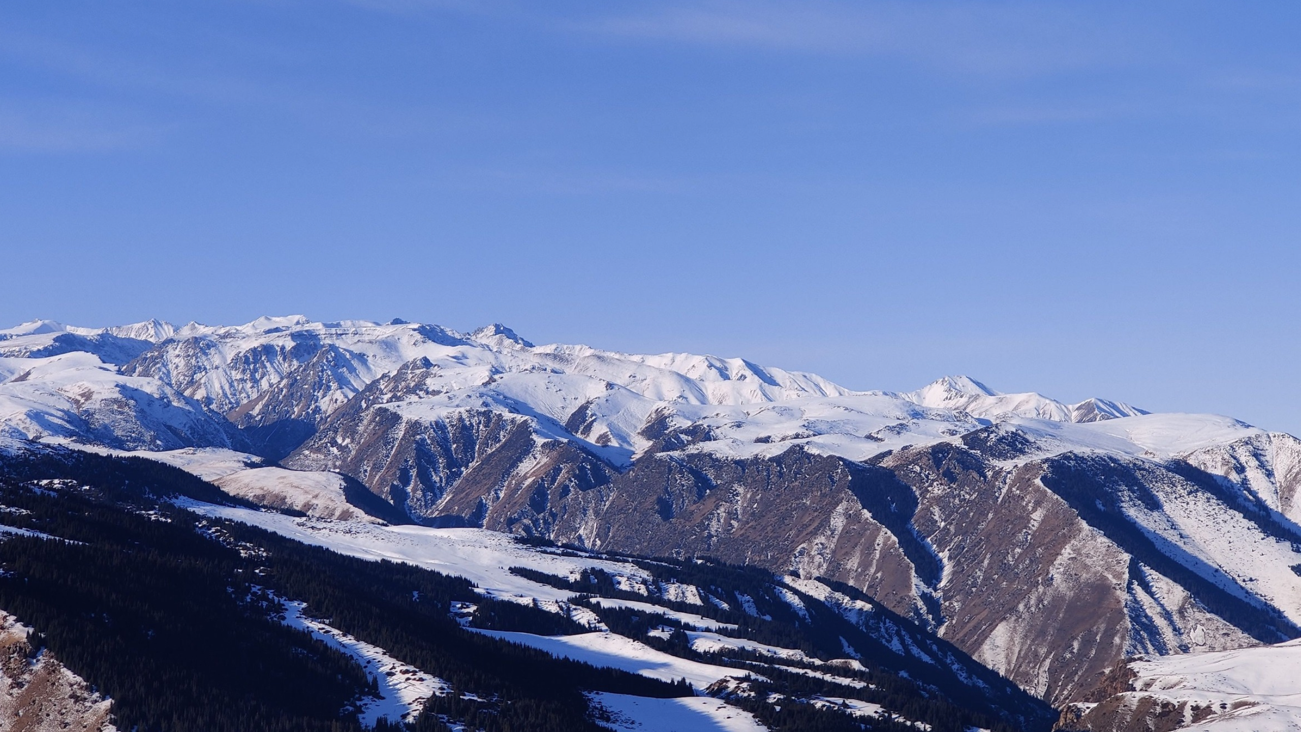
Just as another footnote, Kaztag reported in 2023 that the mountain had been renamed again, Almaty Peak, although the previous name continues to be very widely used.
Saryam Peak
Sayram Peak (perhaps more natural for a native English speaker would be Mount Sayram) is a 4,200-metre mountain in the Talasky Alatau range, meaning that it lies in the south and is located in an area called the Pskem Ridge, shared this time by Uzbekistan. It is 74 km from the city of Shymkent.
Dominated by rivers, the area and its rocky approach make for a challenging climb, once again expert guidance required for even experienced climbers. To the east is the territory of the Aksu-Zhabagly national natural park.
Peak Manshuk Mametova
Manshuk Mametova was, as per Wikipedia:
…a machine gunner of the 100th Rifle Brigade in the 21st Guards Rifle Division of the 3rd Shock Army on the Kalinin Front during the Second World War. She became the first Kazakh woman to be awarded the title Hero of the Soviet Union after the Supreme Soviet posthumously awarded her the title on 1 March 1944.
A street in Almaty is named after her (as in many other Kazakh towns and cities), but so too is a lake, which, with care, can become a relatively doable day hike from Almaty (still better with a guide). The lake is formed by a glacier of the same name, and completing the tribute is a mountain, suitable climbing for fitter hikers and competent climbers.
Accessible via the Shymbulak Ski Resort, via the Mynzhylky Dam, the round trip is about 23 km, of course depending on start and finish points, and the elevation gain tops almost 1,500 metres, which means the challenge is very real and once again better attempted in groups, with a local guide.
Options for the Less Intrepid
If you’re anything like me, you love mountains but not so much the risk involved, bear in mind that conquering the icy and rocky summits is not the only way to enjoy them in Kazakhstan, as a very long list of leisure activities can be ticked off without going too far up.
Hiking, trekking (guided or not – but be careful anyway), horse riding, mountain biking, skiing, snowboarding, snowshoeing, ice skating, and the massive range of options offered by places such as Oi Qaragai allow the less intrepid to venture up without venturing too far up, and I can definitely recommend cycling to Big Almaty Lake if you are fit enough – partly because then you’ll be able to ride down about 30 km back into the city (see video below – and although my camera battery didn’t last the descent, you’ll get the idea).
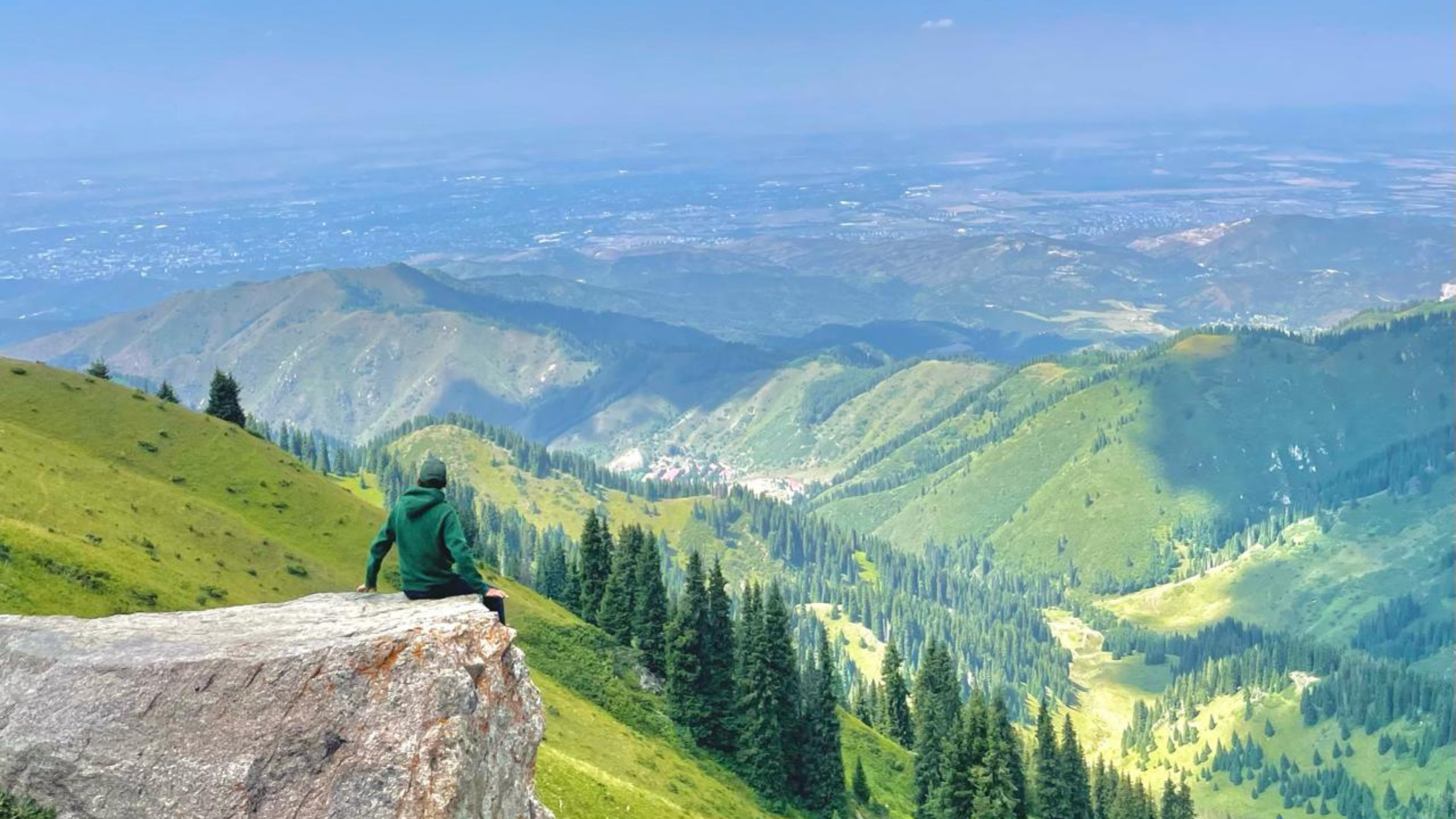
For non-mountain-climbing climbers, Peak Furmanov is a great day out and not too far, a 14-km (on average) walk with some amazing views and, despite its popularity, off the beaten track and a good way to detox from city life.
Accessible mainly from the Medeu Skating Rink, the 8-hour walk takes you through pine trees, apple orchards, and meadows complete with flowers, something that is obviously far better experienced in summer.
Even then, given the elevation gain of over 1,500 metres, it could get colder than you expect, not to mention the air being thinner than you are used to.